
Big news!
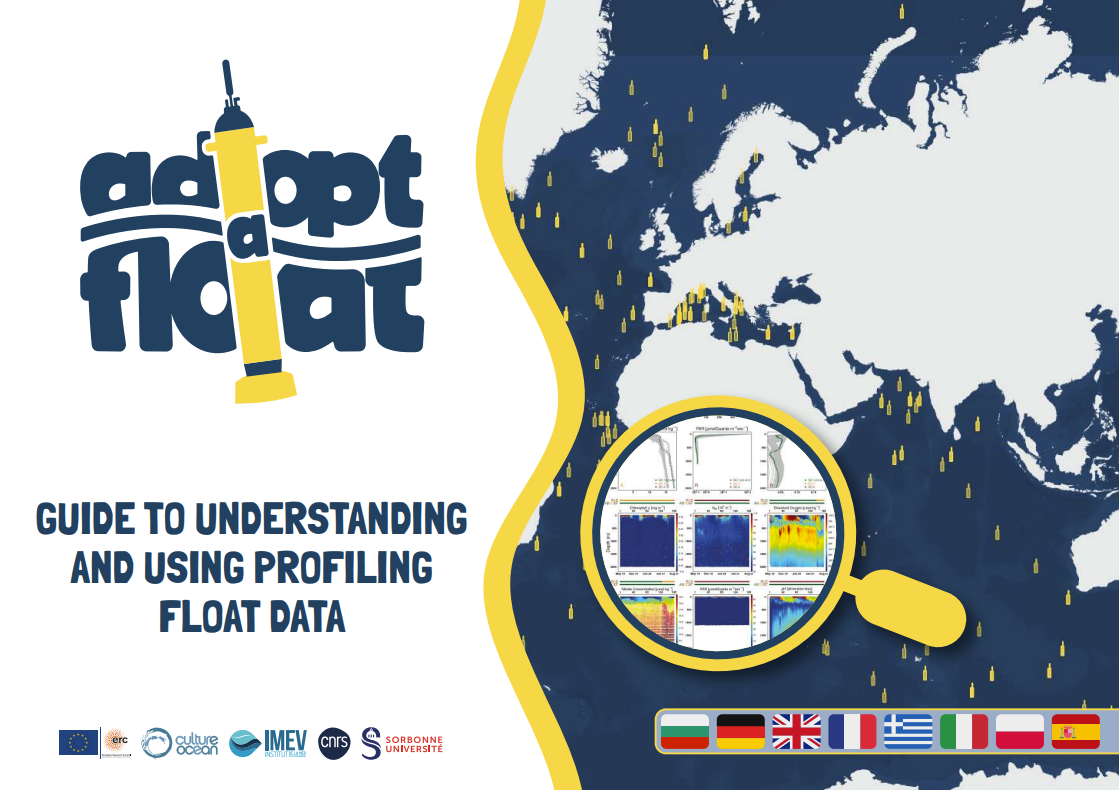
Our handbook for teachers on how to explore and use the adopt a float interactive map is now available in five additional languages: Bulgarian, German, Greek, Spanish and Polish!
These join the English, French and Italian versions already available online – bringing the total to eight languages.
The handbook helps teachers and students explore the data collected by the profiling floats, understand what the measurements tell us about the Ocean, and discover ideas for bringing real Ocean observations into the classroom.
A huge thank you to all the translators and everyone who contributed to making this possible! This work was carried out as part of Euro-Argo ONE, a Horizon Europe project.
More languages, more opportunities to explore, learn and connect with Ocean sciences!